Alviso
Alviso is San Jose’s only waterfront. Once the valley’s port and its own town, it sits on the marshes of the South Bay beside the Don Edwards San Francisco Bay National Wildlife Refuge.

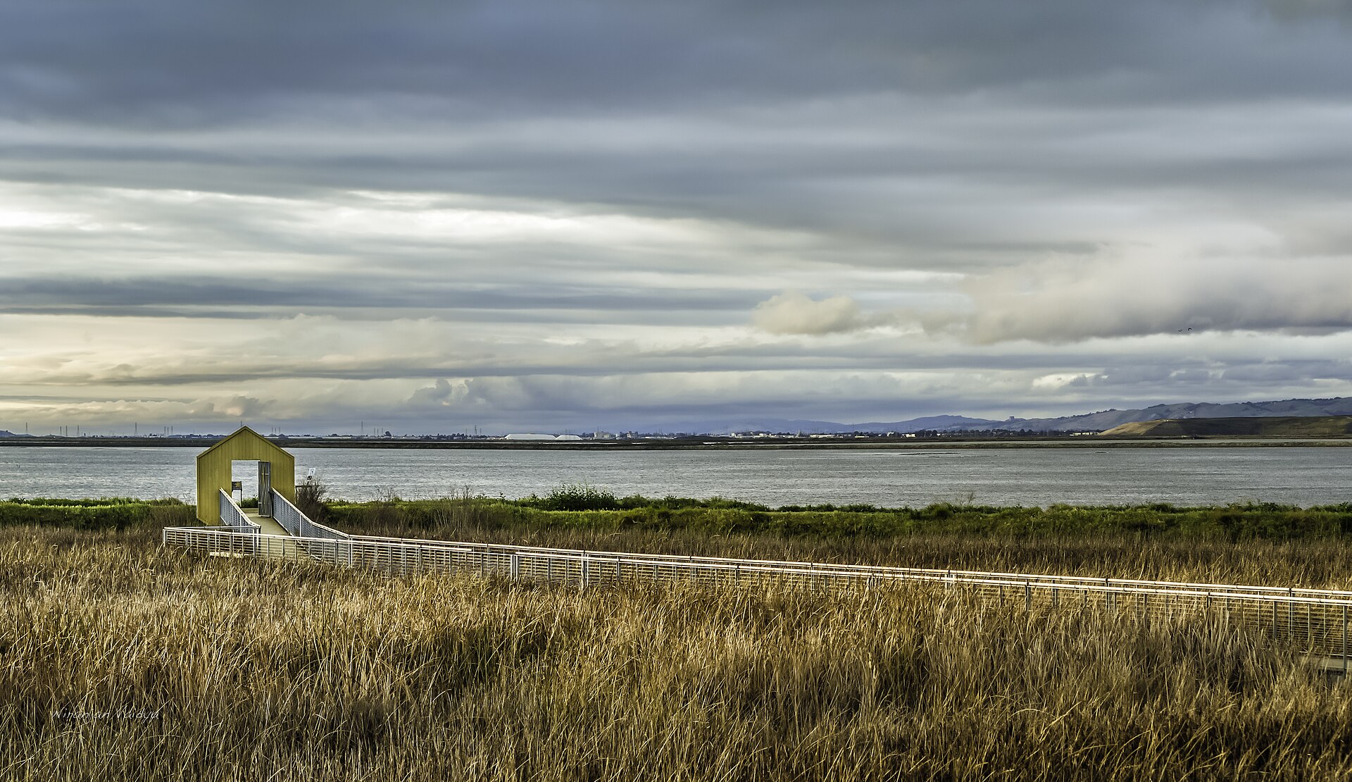
Discover Alviso
Alviso is named for Ignacio Alviso, whose family held Rancho Rincón de los Esteros. It incorporated in 1852 as the shipping port for San José, and steamboats ran regularly to San Francisco until the railroad passed it by in 1864. In 1968 its voters chose, 189 to 180, to join San Jose. (Wikipedia)
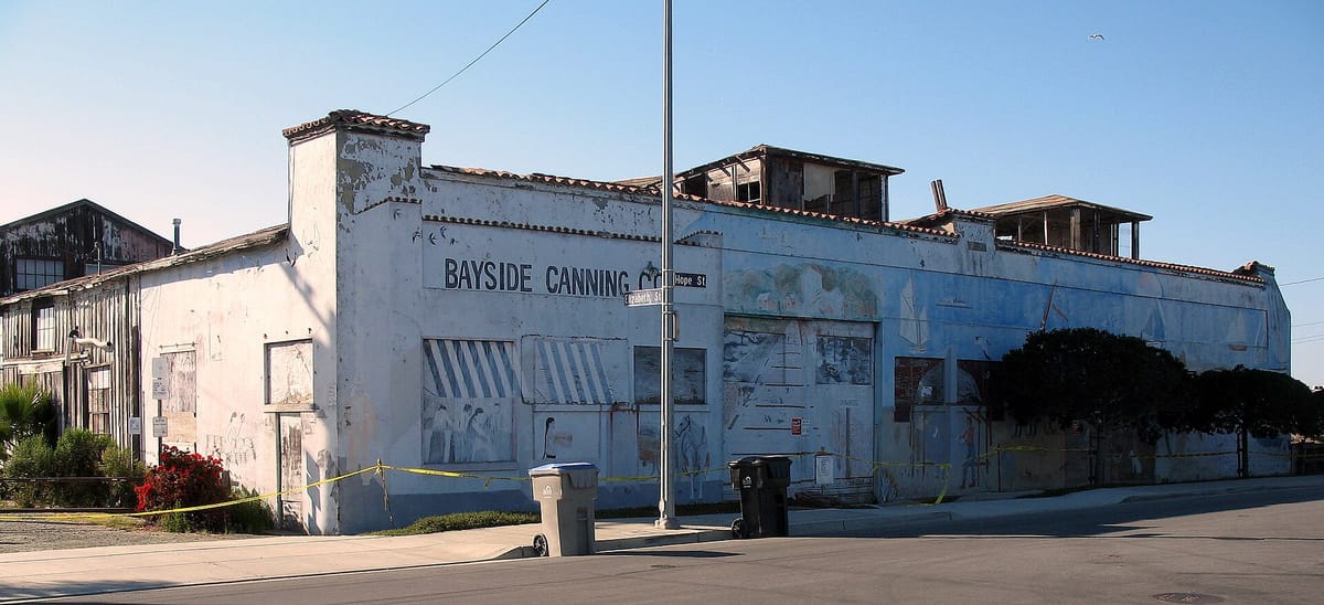
In the early 1900s Sai Yin Chew opened the Bayside Canning Company here, and under his son Thomas Foon Chew it became the third largest cannery in the country. The building now belongs to the U.S. Fish and Wildlife Service. (Wikipedia, San José Public Library)
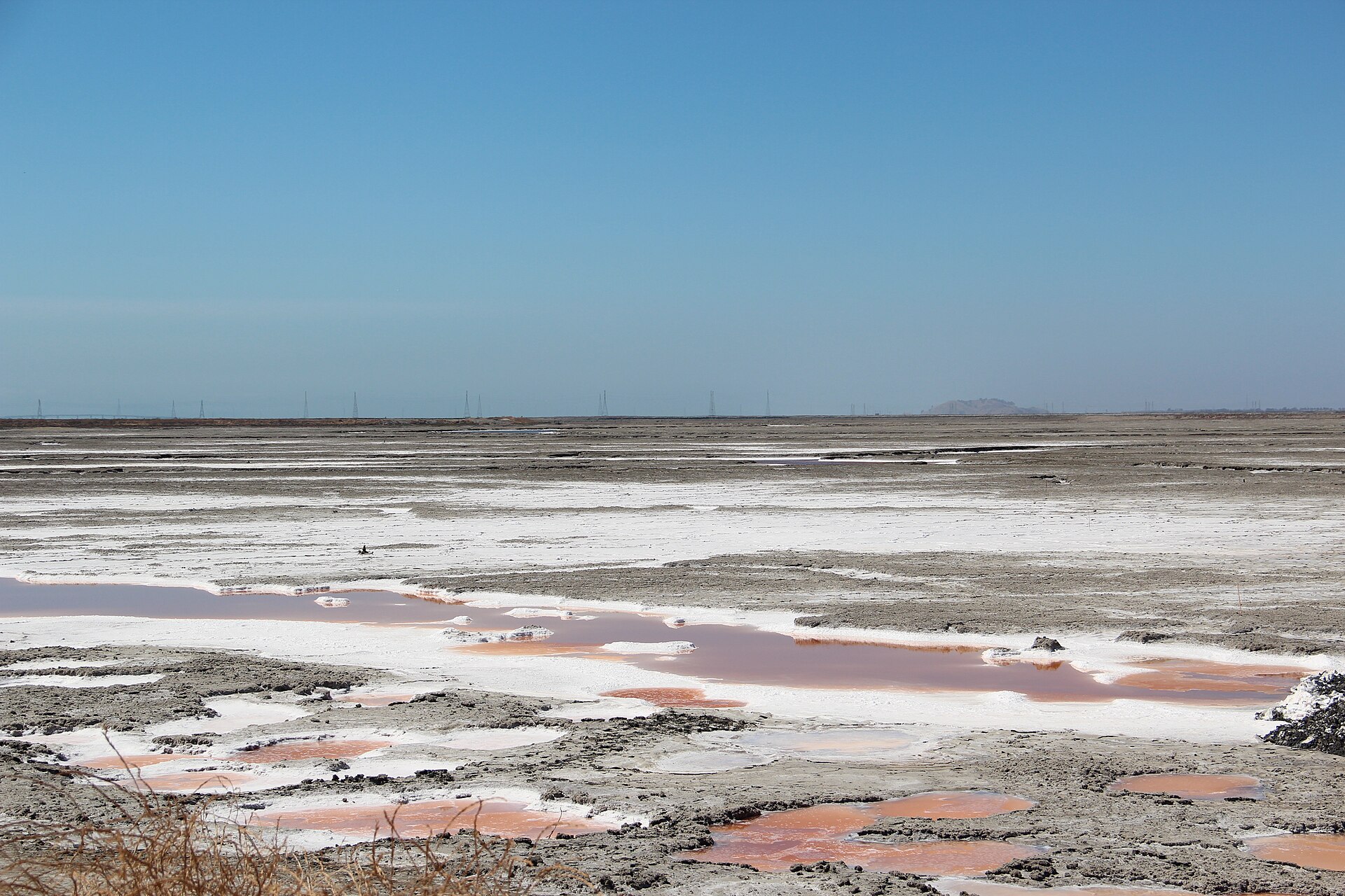
At 13 feet below sea level, Alviso is the lowest point in the Bay Area and has flooded many times, worst of all in the early 1980s. A new levee and the return of former salt ponds to tidal marsh are meant to protect it from the bay. (Wikipedia, KQED)
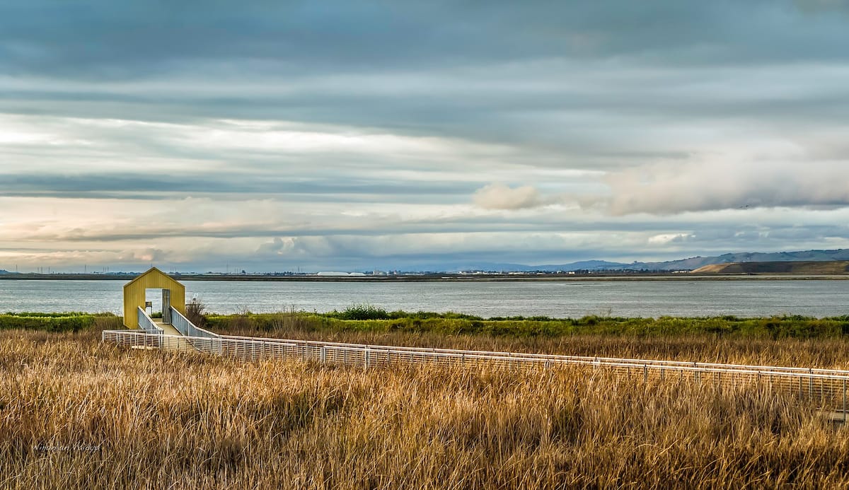
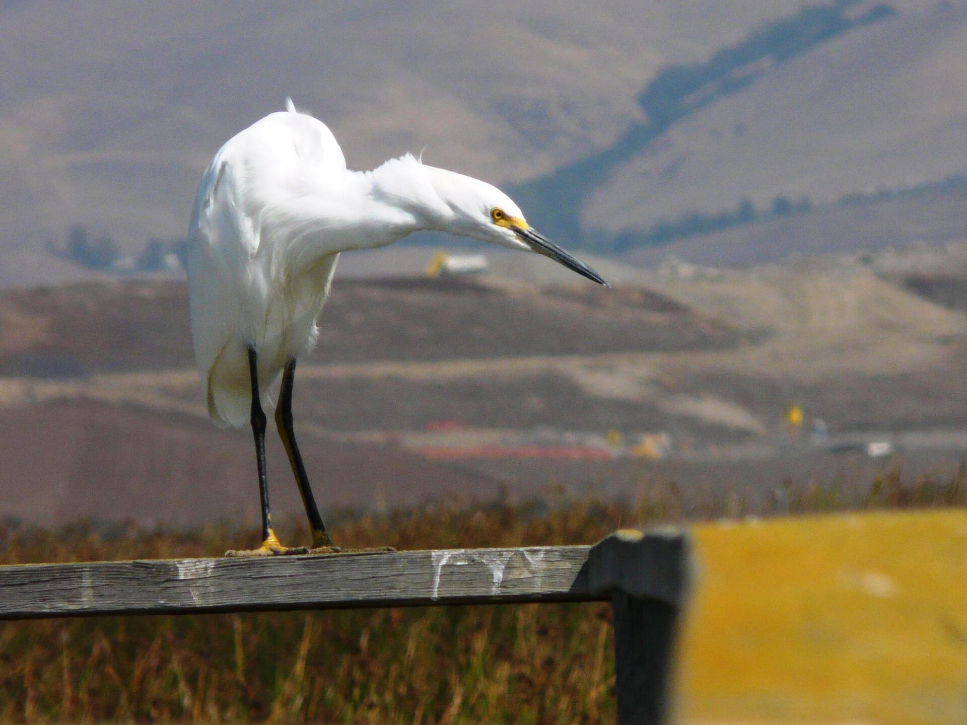
Alviso Marina County Park has a boardwalk and a boat launch into the bay. The neighboring wildlife refuge, the first urban national wildlife refuge in the country, hosts more than 280 bird species a year on the Pacific Flyway. (Wikipedia)
The directory is being filled in — check back soon.
San Jose magic: Orchards, adobes and a city that grew from a pueblo
→
Inquiry
We read everything
LET’S COLLAB. Run a business in San José? Want to be listed or featured, spotted something to fix, or want to bring Made In to your own town? Tell us.